Paper Map or Screen Map for a Planned Journey?
Paper map or screen map planning depends on the journey: compare overview, detail, and route changes to choose a format that keeps decisions clear.

The common mistake in choosing a paper map or screen map is treating one as a complete substitute for the other. That can leave a traveler with a crisp route but no sense of the surrounding area, or a broad overview that hides the turn needed at the next junction. The better choice depends on what the journey asks you to decide before setting out.
Which map makes the whole journey easier to understand?
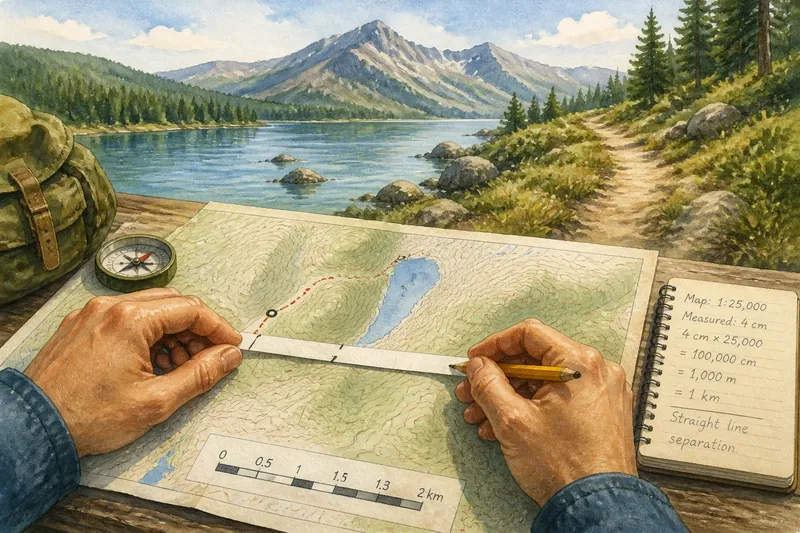
A paper map usually gives a stronger overview because a large area stays visible at once. You can see how towns, roads, rivers, and terrain relate without repeatedly zooming or moving the display. That makes it easier to consider the shape of a trip: where it bends, which places sit along the way, and whether a detour would take you far from the intended corridor.
A screen map can provide an overview too, but its visible area changes with zoom and screen size. Zoom out to see the region and road labels may disappear; zoom in to read local streets and the larger route slips beyond the edges. A screen is a window that can move, while a paper map is more like a table with a fixed view. Each is useful, but they invite different kinds of attention.
For planning a journey across several towns, a regional paper map can make the route’s broad structure legible. A digital map is often more convenient for checking the exact address at either end. If the route is short and contained within a city, the overview matters less, and a screen may show enough surrounding streets without much adjustment.
Which format gives more useful detail?
Screen maps are generally better for close detail. They can display street names, turn restrictions, transit stops, business entrances, and current route guidance at a scale suited to the immediate decision. Search is also useful: entering a place name can locate a destination without scanning a printed index or a crowded sheet.
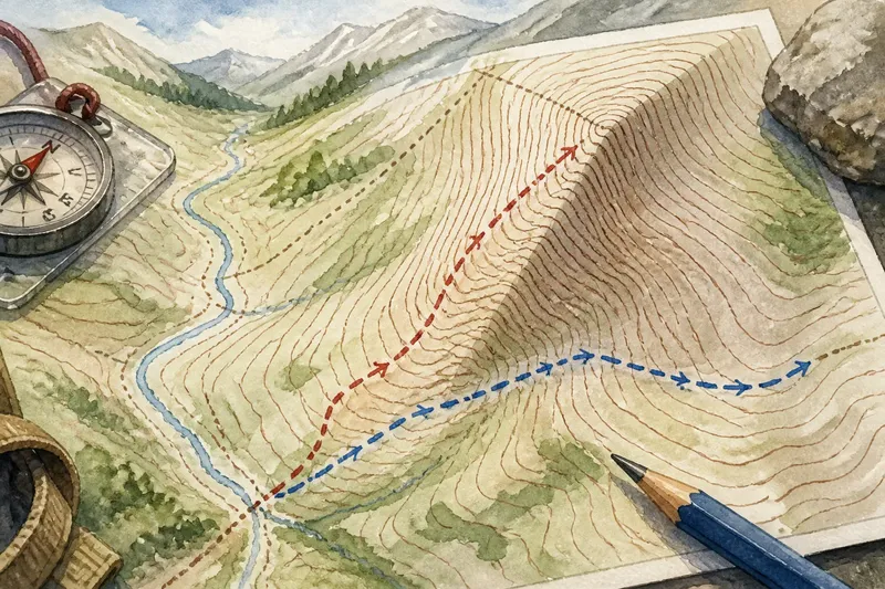
Paper maps offer a different kind of detail: stable context. A printed road map may show road classes, parks, waterways, and settlements together, making the relationship between features easier to inspect. It does not change its labels when you zoom, and the legend remains available for reading. Its limitations are equally plain: a road atlas may omit a new street, and a small print label can demand more patience than anyone planned to bring.
Look at the map’s purpose and coverage, not just its medium. A trail map, transit diagram, road atlas, and general-purpose phone map each emphasize different information. For a journey involving a trailhead, a road map may help with the drive but say little about the path beyond the parking area. The map’s stated coverage and the relevant map legend matter more than whether it is printed or displayed.
How well does each map handle a changed route?
A digital map is usually more convenient when a route needs to change. You can search for an alternate destination, inspect nearby roads, or ask a routing service for another path. Some services also display traffic or transit disruptions, though available information and coverage vary. A reroute can save time in decision-making, but it may also direct attention to the next instruction rather than the reason for the detour.
With paper, changing the route is a manual decision. You trace a different road, compare its direction with the map’s surrounding features, and decide whether it still fits the journey. That takes more interpretation, but it keeps the broader geography in view. If the change is caused by a closed road, the map alone cannot tell you whether the closure is current; a reliable local notice or navigation service may supply that missing information.
Imagine you plan to drive from a small town to a lakeside trailhead, then discover that the road shown on your printed map is closed near a bridge. You check a current digital map for an open crossing, then use the paper map to see whether the new route still approaches the trailhead from the intended side of the lake. The expected result is a more informed detour choice: live information identifies an option, while the regional view shows what that option means for the larger trip.
What should you check before relying on a screen map?
Check whether the route depends on a live connection, location services, or a device that must remain powered. A screen may be clear at the kitchen table and less useful later if its map area is not available offline or the display is difficult to read in bright light. Downloading the relevant area in advance, where the app permits it, can reduce dependence on a signal; it does not replace checking what the downloaded map includes.
- Confirm that the map covers the full route, including the starting point and destination.
- Check whether offline access is available for the map area you need.
- Review the route’s major roads and towns before following turn-by-turn prompts.
- Make sure the device can be used safely and legally in the way you plan to travel.
- Consider whether the screen is readable in the light and conditions you expect.
For driving, do not handle a phone while the vehicle is moving. Set up guidance before departure, use an appropriate mount or a passenger, and follow local rules. If the route requires attention that cannot safely be divided, stop in a suitable place before checking the display.
When is a paper map the better planning choice?
Choose paper when the central task is comparing alternatives across a broad area, especially when you expect to discuss the route with another person or mark several possible stops. A regional road map can show whether a proposed detour loops back naturally, passes through a different valley, or takes the journey away from its intended destination. Pencil marks are easy to revise; a permanent marker is less forgiving, as maps have no undo button.
Paper also makes a useful backup where a route includes areas with uncertain coverage or where a device may not be convenient to consult. It should be the right map for the journey, though: a broad road atlas may not contain the detail needed for a pedestrian route, and a local street map may not show the wider connection between towns.
When is a screen map the better planning choice?
Choose a screen when the route depends on precise addresses, frequent local turns, or information that may change before departure. Search, zoom, and route recalculation can make a complicated urban itinerary easier to revise. A digital map can also help compare a destination’s nearby streets with its address, which is useful when a large site has several entrances.
For a journey with many planned stops, digital directions can keep each address and leg easy to retrieve. That convenience does not mean every suggested route deserves blind acceptance. Check whether the route fits the vehicle or mode of travel, and whether it uses roads or paths that are appropriate for your purpose.
What questions help settle the choice?
Can I plan a journey with only a phone map?
Yes, if the map covers the route and the device remains usable for the decisions the journey requires. Review the broad route before departure, and consider offline access where signal may be unreliable.
Is a paper map still useful for a short city trip?
It can be, particularly if you want to compare neighborhoods or understand several possible approaches to a destination. For a few precise turns, a screen map is often easier to consult.
Should I use both paper and digital maps?
Use both when the journey benefits from a broad planning view and current local detail. Let each answer the question it handles best rather than keeping two maps open for the same turn.
How do I know whether a digital route is suitable?
Check the travel mode, major roads, destination access, and any relevant restrictions shown by the service. If an instruction conflicts with signs or local conditions, rely on the information that applies to the place and mode of travel.
How do you choose for the journey you have?
Start with the hardest planning decision. If it is understanding how the route fits across a region, begin with paper. If it is finding exact streets, entrances, or a current alternative, begin with a screen. Then identify what that first choice cannot answer: the printed map may lack a recent closure, while the digital view may make the larger route difficult to hold in mind.
For many planned journeys, the most useful choice is not paper versus screen but a clear division of work. Use the paper map to compare the shape and surroundings of the route; use the screen map to locate specific places and check changing conditions. For paper map or screen map planning, match the format to the decision you need to make, and keep the other format available only where it adds information rather than another distraction.
Before leaving, check that the route’s start, destination, and major connections are represented on the map you intend to use. That small check catches a familiar nuisance: having a perfectly good map of almost all of the journey.