
Navigation
Paper Map or Screen Map for a Planned Journey?
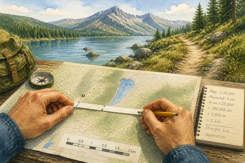
Paper map or screen map planning depends on the journey: compare overview, detail, and route changes to choose a…
Meridian and Mile looks at how maps work, what they leave out and how to use them with a sharper eye, whether you are planning a route or exploring a place from home.
On this page
Paper map or screen map planning depends on the journey: compare overview, detail, and route changes to choose a…
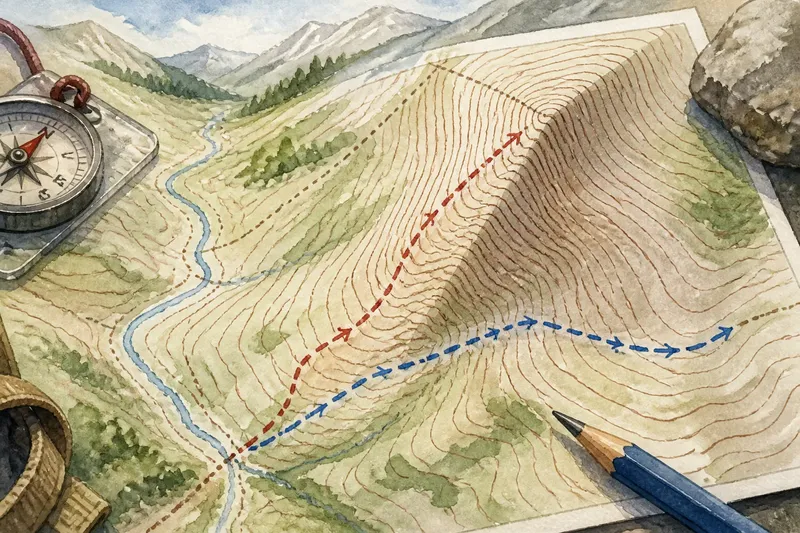
Why contour lines gather on steep ground: read the spacing, spot slope changes, and compare route options without…
Landforms
We make map choices easier to notice: what is shown, what is simplified and how a reader can make sense of the result.